Description
Theme:
Mapping the legacy of war
Description:
This 250-dollar coin is certified to be 99.99% fine silver with a diameter of 102.1 millimetres and a metal content of 1,000 grams. Canadian artist Luc Normandin designed the reverse which features a period map inspired by Didier Robert de Vaugondy, a renowned map maker of the mid 1700’s. The map shows the region where the Seven Years War was fought in North America and is accompanied by a commemorative banner at the coin’s centre that is flanked by the Royal Arms of France (left) and Britain (right). The obverse features the effigy of Her Majesty Queen Elizabeth II by Susanna Blunt.
Special Features:
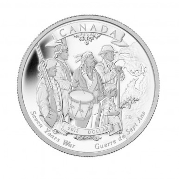
- With superb engraving and intricate details, this coin highlights the battlefront of the Seven Years War (arguably one of the most defining moments in Canadian history) in North America with a period map and the Royal Arms of the two kingdoms involved.
- Coin is struck in fine silver –GST exempt!
- A very limited mintage is available to coin collectors worldwide.
- Intricate and elegant design is finely engraved and meticulously presented in a beautiful proof finish (frosted raised elements on mirror background); a testament to the exceptional talents of the designer and unparalleled RCM craftsmanship.
Product Specifications:
Face Value:250 dollars
Mintage:500
Composition:99.99% fine silver
Weight (g):1,000
Diameter (mm):102.1
Edge:Serrated
Finish:Proof
Certificate:Serialized
Artist:Luc Normandin
Packaging:
Coin is encapsulated and presented in a custom maple wood box lined with flock and protected by a black sleeve.
Finished Packaging Size: 225 mm x 225 mm
Complete Certificate Text:
Mapping the legacy of war
250th anniversary of the end of the Seven Years War (1756 – 1763)
The map of North America is a veritable history book on the societal evolution of the continent. With place-names that can be traced to a multitude of European and Aboriginal cultures, it reveals the diversity of people who played a role in this epic tale that spanned centuries—the French, British, Spanish, Portuguese, Dutch, Swedish, Danish and First Nation peoples.
But it was the three super powers of the age that yielded the greatest influence on the map’s formation. After warring for centuries for domination in Europe, they set their sights on North America. Spain colonized the continent from the South, the British along the Atlantic Coast and the French expanded inland via the St. Lawrence Valley and the eastern seaboard.
As ships crossed the Atlantic Ocean, they had more than sailors, soldiers and guns on board. They also carried merchants, farmers, fishers, peasant families and adventurous traders all eager to enjoy the freedom and prosperity the New World offered. Yet, as they toiled to build new lives, they did so against an undercurrent of hostility between their homelands and the constant threat of war.
By the 18th century, the conflict was primarily between Britain and France—and it intensified with far-reaching, grasping arms. The early colonists who were primarily concerned with harvesting a livelihood from the land and sea were invariably drawn into the conflict, as were First Nations people who had long-standing alliances with the Europeans, but were equally interested in protecting their own interests.
After two years, the struggle reached a breaking point when open warfare broke out in the Ohio Valley. Britain officially declared war on France one year later in 1756, and the war that ensued became one of history’sgreatest wars since the fall of the Roman Empire. The Seven Years War was the world’s first global conflict extending far beyond North America to Europe, India and Africa.
In North America, the English colonies along the eastern seaboard, and the French forts extending from the St. Lawrence River to the Great Lakes and south beyond the Ohio Valley, determined how the war would be fought as the opponents struggled to control each stronghold. When the conflict ended in 1763, the lives of North America’s early citizens changed forever as new boundaries were drawn up. Yet, the foundation was laid for Canada as the world knows it today—the lands that define the nation, as well as the linguistic and cultural diversity of its people.


